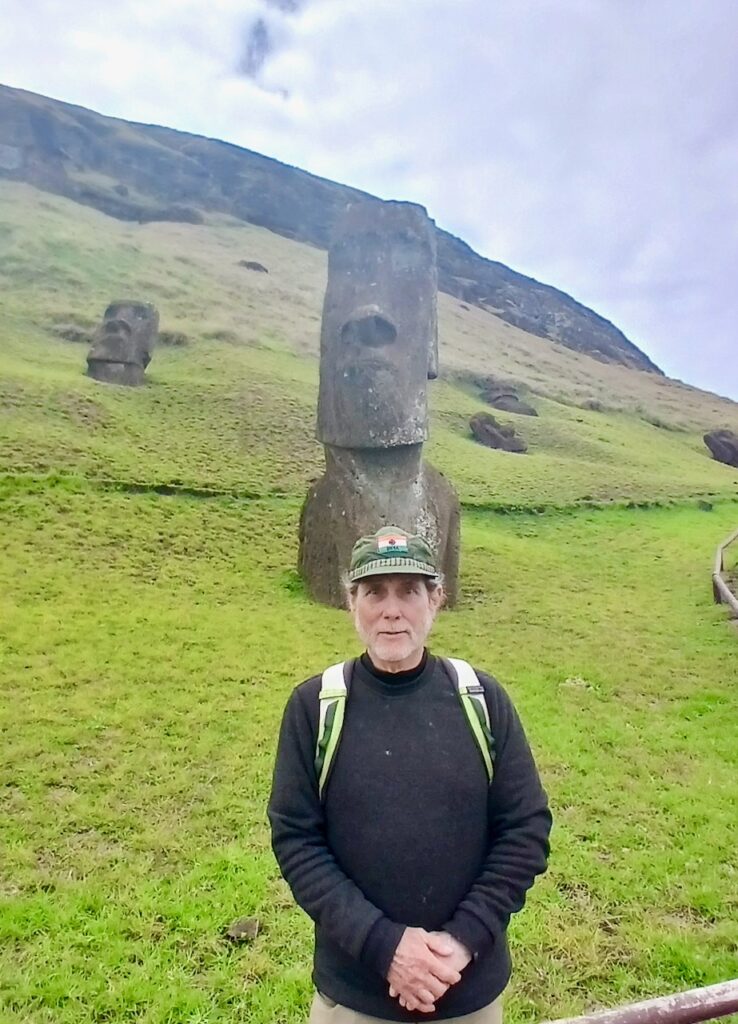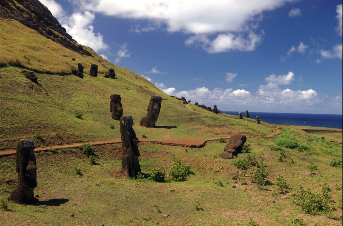
Outer slope of the Rano Raraku volcano, the quarry of the Moais with many uncompleted statues: NAJ screen shot from Wikipedia
Secret Vistas –
By Glynn Wilson –
CATOCTIN MOUNTAINS, Md. – So I had just made it back up to the mountain top from D.C. and setup in a regular campsite on Tuesday at 1,700 feet above sea level when the iPhone went off with a text message from a strange, international number. At first I was reluctant to open the text, with spam and hacking on the loose these days.
Then I remembered that my good friend Tab Gilbert from Birmingham was supposed to be making the crossing from the mainland of Chile to Easter Island this month, so I downloaded the Google Meet Up app and took the call.
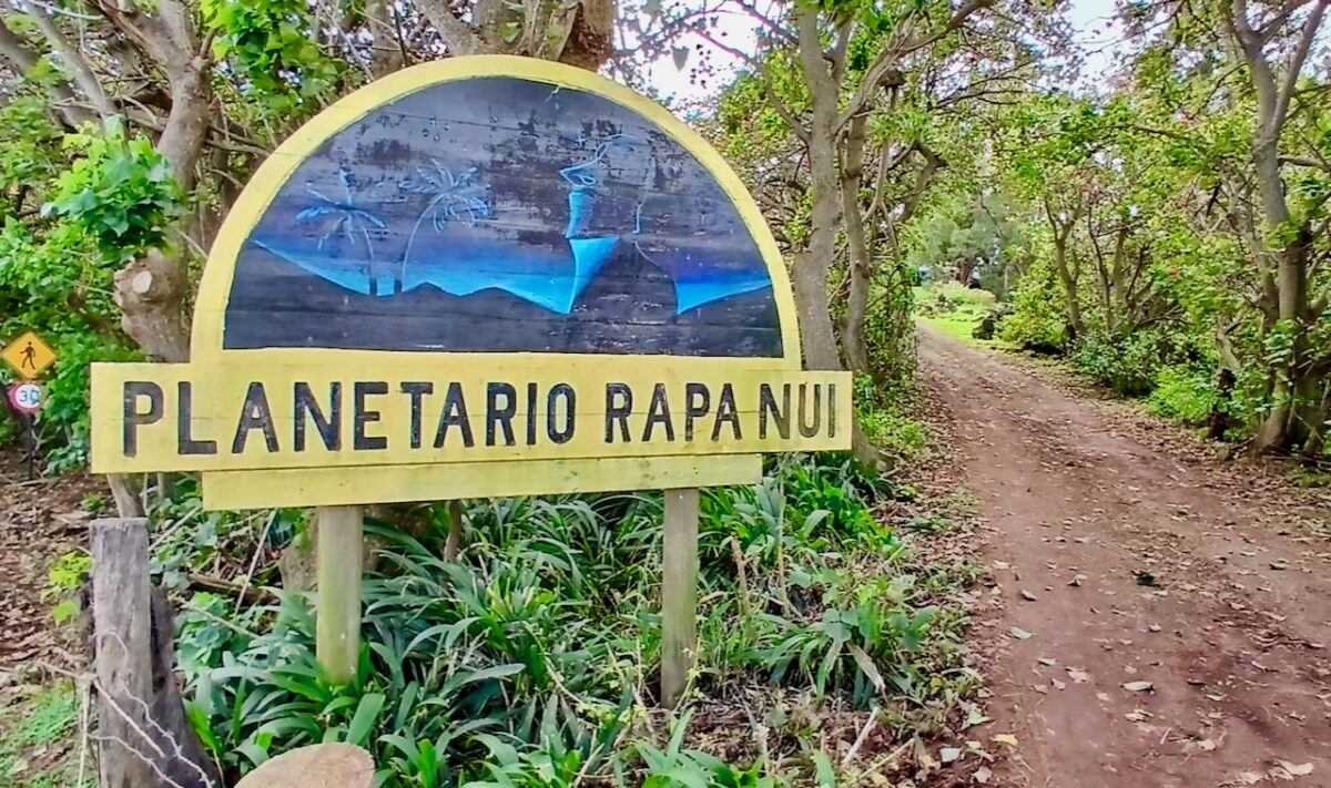
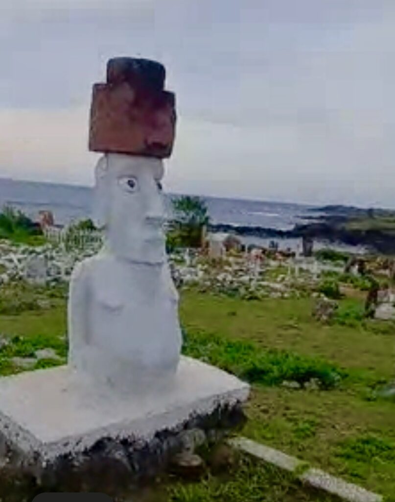
For about the next 30 minutes, I was taken on a virtual video tour of the small island, taking screen shots of scenes on the iPhone.
I’ve gotten these calls over the past 20 years or so periodically from exotic places around the world, from South America, China and India, and once from Tibet in the Himalayas, home to the Dalai Lama.
Easter Island (Rapa Nui), an island and special territory of Chile in the southeastern Pacific Ocean at the southeastern-most point of the Polynesian Triangle in Oceania, has long been on the bucket list of places to see for Gilbert. He finally made it this summer in August.
Easter Island is one of the world’s most remote inhabited islands. The nearest inhabited land is Pitcairn Island, with around 50 residents in 2013. That’s 2,075 kilometers or 1,289 miles away. The nearest town with a population over 500 is Rikitea, on the island of Mangareva, 2,606 kilometers or 1,619 miles away. The nearest continental point lies in central Chile, 3,512 kilometers or 2,182 miles away.
The island is most famous for its nearly 1,000 extant monumental statues, called moai, which were created by the early Rapa Nui people. Now they sell small versions of these to tourists visiting the island.
Just getting there and seeing the ancient stones and the dormant volcano was worth it, Gilbert said, even if it was an expensive trip and the place was not so impressive as a tourist destination, mostly ramshackle beach shacks and lots, and lots of cars. The island is pretty small, at 63.2 square miles or 163.6 kilometers, maybe 5 by 7 miles.
But what struck Gilbert the most were the number of cars on the small island.
“There are cars everywhere,” he said.
There are also no signs of renewable energy, no wind mills, no solar panels. Most of the power seems to come from diesel generators, he said.
But the people were nice, and just being there was something, he said.
UNESCO named Easter Island a World Heritage Site in 1995, with much of the island protected within Rapa Nui National Park, according to the Wikipedia page for the island.
Experts disagree on when the island’s Polynesian inhabitants first reached the island. While many in the research community cited evidence that they arrived around the year 800, a 2007 study found compelling evidence that they arrived closer to 1200.
The inhabitants created a thriving and industrious culture, as evidenced by the island’s numerous enormous stone moai and other artifacts. But land clearing for cultivation and the introduction of the Polynesian rat led to gradual deforestation.
By the time of European arrival in 1722, the island’s population was estimated to be 2,000 to 3,000. European diseases, Peruvian slave raiding expeditions in the 1860s, and emigration to other islands such as Tahiti further depleted the population, reducing it to a low of 111 native inhabitants in 1877.
Chile annexed Easter Island in 1888. In 1966, the Rapa Nui were granted Chilean citizenship. In 2007 the island gained the constitutional status of “special territory.”
Administratively, it belongs to the Valparaíso Region, constituting a single commune (Isla de Pascua) of the Province of Isla de Pascua. The 2017 Chilean census registered 7,750 people on the island, of whom 3,512 (45%) considered themselves Rapa Nui.
For years I’ve been bugging Gilbert to keep a journal and take more pictures of these places. But that was not the original goal. It was just the challenge to get to these places all over the world, to see them for himself, beginning back in the 1970s by backpacking across Europe.
Some people want to make it to all 50 states in the U.S. Some want to hike the entire Appalachian Trail from Georgia to Maine. I just wanted to spend time learning the nation’s capital in Washington, D.C., and to explore some of America’s great national parks and write about these places and photograph them.
Gilbert’s goal was to “see the world.”
As we were talking, I suggested that before he can consider his world travels complete, he should try to make it to the Galápagos Islands off the coast of Ecuador, made famous by Charles Darwin and his travels aboard the HMS Beagle.
“That’s a long way from here,” Gilbert said.
His plan was to make it back to Chile and head further south toward Patagonia, a region encompassing the vast southernmost tip of South America shared by Argentina and Chile, with the Andes Mountains as its dividing line. The Argentine side features arid steppes, grasslands and deserts, while the Chilean has glacial fjords and temperate rainforest.
More Photos
___
If you support truth in reporting with no paywall, and fearless writing with no popup ads or sponsored content, consider making a contribution today with GoFundMe or Patreon or PayPal.


